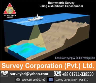
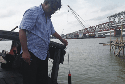
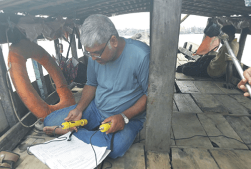
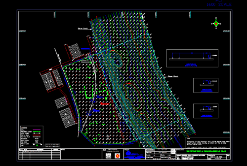
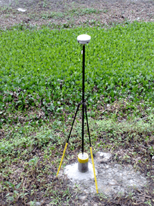
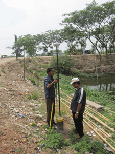
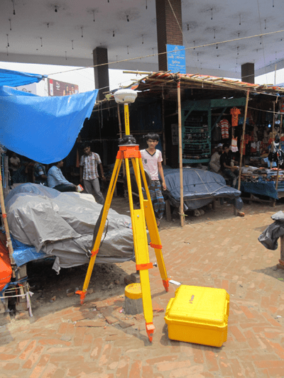
At Survey Corporation (Pvt.) Ltd. our surveying offerings extend to those lands flowed by both fresh and salt water. We equip our boat with a real-time kinematic (RTK) GPS/GNSS antenna mounted directly above the sonar sensor so we can provide real-time elevations. As a result, we can effectively offer underwater topographic surveys of watersheds including rivers, ponds, lakes, reservoirs, bays and harbors.
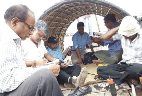
The hydrographic and bathymetric surveys we conduct support flood study analysis, scour analysis of bridge piers, dredging analysis, erosion analysis and dam studies. Files are provided in digital drawings as well as in hardcopy formats.